LiDAR (Light Detection and Ranging ) is a proven approach to creating fast and accurate terrain models for applications in many types of industries. The technology is based on a scanning laser combined with both GPS and inertial technology to create a three dimensional set of points (point cloud).
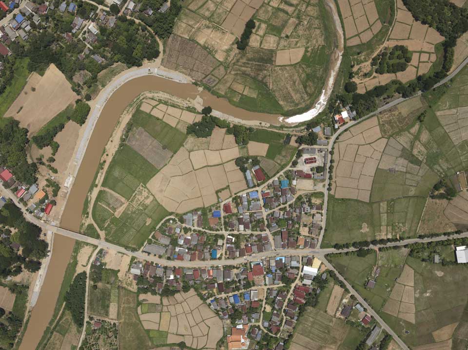
Photogrammetry is the science of making measurements from photographs. The output of photogrammetry is typically a map, drawing, measurement, or a 3D model of some real-world object. Today maps are created with photogrammetry and photographs usually are taken from aircraft or satellite.
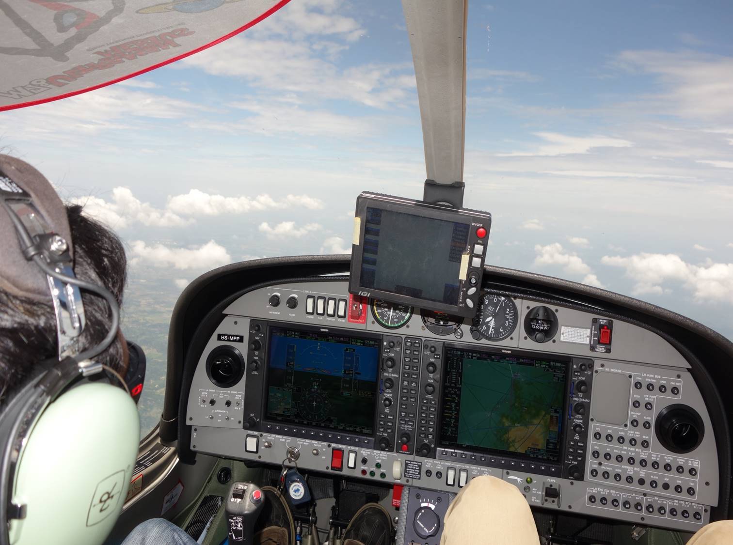
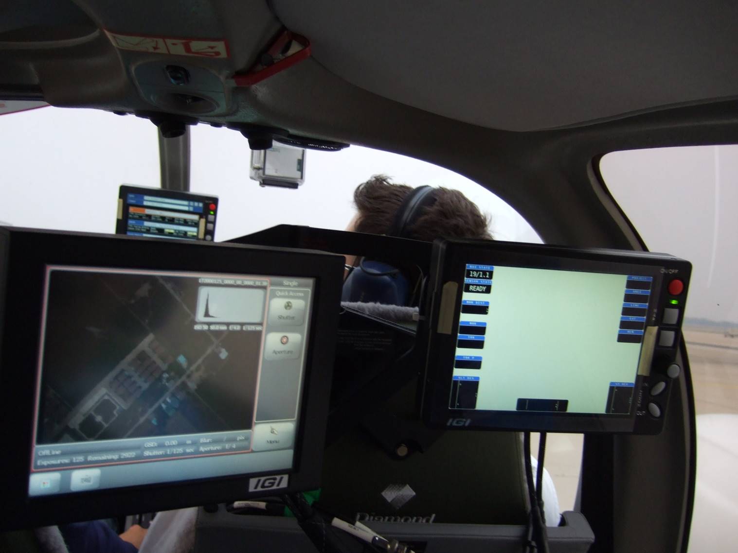
Asian Aerospace Services uses the Diamond Aircraft DA42MPP & DA62MPP, known for the most efficient aircraft in the industry, equipped with state-of-the-art remote sensing solutions from Riegl (Lidar Scanner) and IGI ( IMU, Digital Aerial Camera) to do Airborne Surveys in a wide range of applications such as
- Infrastructure Planning ( Powerline, Pipeline, Railway, Roads, Industry )
- Mining ( Geology, Geography, Geomorphology )
- Disaster Prevention ( Flood, Landslides)
- Vegetation Analysis ( Forestry, Precision Farming )
- Mapping ( City Models, Topographic Maps, Corridors, Landuse )
- Archeology
The aircraft are based in AAS own Hangar at Don Muenag International Airport in Bangkok, Thailand.